The Secret Maps That Traveling Salesmen Drew by Hand — And How They Knew America Better Than Anyone

The Forgotten Cartographers of Main Street
In the dusty archives of the Smithsonian Institution sits a collection that would make Google Maps engineers weep with envy. Tucked away in leather-bound notebooks, pencil sketches reveal America's rural landscape with a precision that satellite imagery still struggles to match. These aren't the work of government surveyors or professional mapmakers. They're the handiwork of traveling salesmen — men who crisscrossed the country with sample cases and order books, accidentally becoming the most thorough documentarians of small-town America.
 Photo: Smithsonian Institution, via cdn.getyourguide.com
These commercial nomads, known as "drummers" in their heyday from the 1870s through the 1950s, didn't just sell goods. They mapped every back road, noted every household's purchasing habits, and recorded the social fabric of communities in ways that would make modern data scientists jealous.
More Than Just Directions
A typical drummer's notebook read like a cross between a road atlas and a community gossip column. One surviving example from a soap salesman working Iowa in the 1920s includes entries like: "Miller farm — 3rd house past the red barn, Mrs. Miller prefers lavender soap, husband drinks, pay in cash only, shortcut through cornfield saves 2 miles to next stop."
These notebooks contained layers of intelligence that went far beyond simple geography. Drummers tracked seasonal road conditions ("Spring Creek floods March-May, take high road"), noted which dogs bite and which families kept late hours, and even recorded local dialects and customs that might affect a sale.
James Mitchell, a hardware drummer who worked the Midwest for thirty years, kept such detailed records that local postal workers would consult his notebooks when new mail routes needed planning. His maps included every barn, creek, and cow path within a fifty-mile radius of his territory.
 Photo: James Mitchell, via odstcoreprodncus01.blob.core.windows.net
The Human GPS Network
What made these maps extraordinary wasn't just their detail — it was their accuracy. Unlike government surveys that focused on property lines and major roads, drummers mapped the America that people actually lived in. They knew which "roads" were really just horse paths, which bridges washed out every spring, and which shortcuts only locals dared attempt.
More importantly, they understood the social geography that no official map could capture. They knew that the Henderson farm was the unofficial post office for three neighboring families, that Mrs. Walsh always had coffee ready for travelers, and that the Smith brothers would trade produce for manufactured goods when cash was tight.
This knowledge proved invaluable during emergencies. When the Great Flood of 1927 devastated the Mississippi River valley, relief workers relied heavily on drummers' notebooks to locate stranded families and navigate washed-out roads. The official maps showed main highways that no longer existed, but the salesmen's scribbled notes revealed high-ground routes that local families had used for generations.
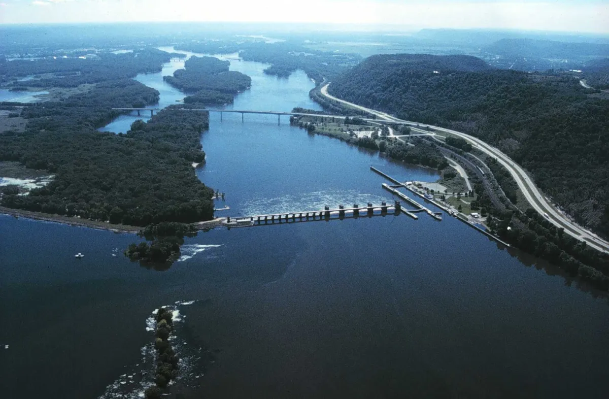 Photo: Mississippi River, via 4.bp.blogspot.com
The Science of Selling Geography
Drummers developed their own sophisticated systems for organizing geographic knowledge. Many used color-coding: blue ink for reliable customers, red for difficult terrain, green for seasonal information. Some developed personal shorthand that packed enormous amounts of information into tiny margin notes.
One pharmaceutical salesman working the Southwest created a symbol system so complex that his company hired him as a full-time territory planner when he retired from sales. His notebooks contained over 40 different symbols indicating everything from water availability to local superstitions about medicine.
These maps weren't just useful — they were profitable. Experienced drummers could plan routes that maximized sales while minimizing travel time and expenses. They knew exactly which towns to hit on market days, which families had money after harvest season, and which communities were worth the detour.
When the Notebooks Disappeared
The golden age of drummer mapping ended abruptly in the 1950s. Improved highways made travel more predictable, telephone sales reduced the need for face-to-face contact, and eventually, corporate sales territories replaced individual drummers' personal knowledge.
Most of these invaluable notebooks simply vanished. Some were thrown away when salesmen retired. Others disappeared when companies reorganized their sales forces. A few ended up in attics and estate sales, their significance unrecognized by families who inherited them.
The loss represents more than just historical curiosities. These notebooks contained detailed records of American communities at a crucial period of development — information that would be invaluable to historians, sociologists, and urban planners today.
The Legacy Lives On
Interestingly, some of the drummers' geographic insights proved so accurate that they influenced modern infrastructure. Highway planners in the 1960s discovered that many of the "shortcuts" marked in old sales notebooks had become informal truck routes. Several state highways follow paths that drummers had identified as optimal decades earlier.
A few of these notebooks still surface occasionally at antique shops and estate sales. Collectors now pay hundreds of dollars for well-preserved examples, recognizing them as unique windows into America's past. Local historical societies have begun digitizing the notebooks they can find, creating online archives that researchers use to understand how rural communities actually functioned before modern transportation and communication.
The next time you use GPS to navigate unfamiliar territory, remember the traveling salesmen who once knew every road, shortcut, and social connection across America — all stored in notebooks they carried in their back pockets. They mapped a country that no satellite will ever see quite the same way again.