The Invisible Roads That Locals Kept to Themselves: America's Unmapped Pedestrian World
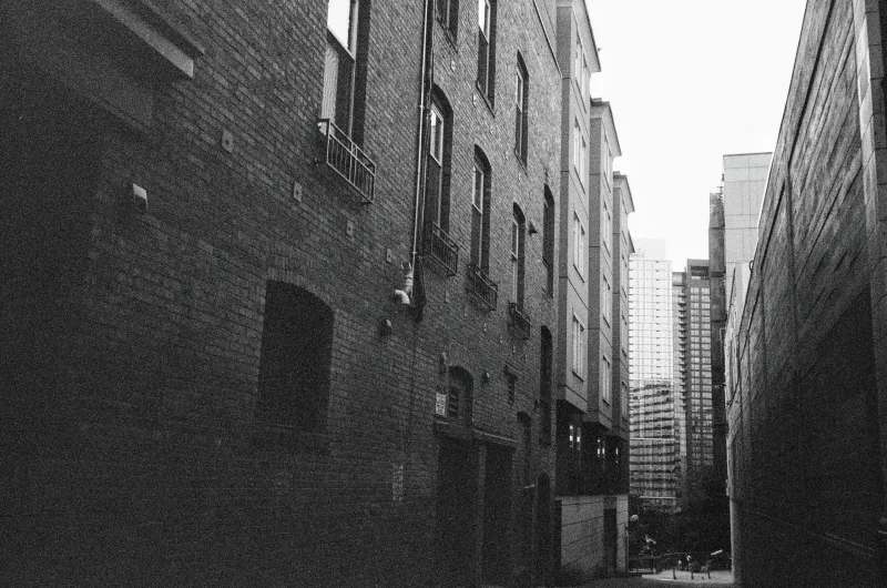
If you grew up in a neighborhood long enough, you probably learned it differently than any newcomer could from a map. You knew which backyard fence had a gap in it. You knew that cutting through the church parking lot on Thursday mornings saved you six minutes. You knew about the narrow alley between the dry cleaner and the shoe repair shop that let you skip two entire blocks of traffic-choked sidewalk.
Nobody wrote any of this down. Nobody needed to. You learned it from a neighbor, or an older kid, or simply from years of walking the same blocks until the landscape revealed itself. This was the unmapped city — and it was just as real, just as useful, and in many ways far more human than anything a city planner ever drew on paper.
What Urban Planners Call "Desire Paths" — And What They Don't Tell You
Urban designers have a term for the informal trails that people wear into landscapes by simply walking the most natural route: desire paths. You've seen them — the diagonal dirt track across a grassy corner, the worn strip of grass beside a sidewalk that stops too soon, the shortcut through a park that no landscape architect intended but every local knows.
But the unmapped pedestrian networks of American cities went far beyond simple desire paths. They were social infrastructure — informal agreements between neighbors about how space could be shared and moved through. A property owner who left a gate unlocked was participating in the network. A corner store that allowed foot traffic through its back lot was part of the system. These weren't accidents. They were a form of unwritten community contract.
In older urban neighborhoods — the kind built before cars dominated American street design — these networks were often essential. Blocks were long, official pedestrian infrastructure was sparse, and people who walked everywhere developed routes of extraordinary efficiency and intimacy. The city they moved through every day was not the city on the map. It was something richer and more specific.
The Knowledge That Lived in People, Not in Documents
Here's what makes this genuinely fascinating from a historical standpoint: almost none of this was ever recorded. City archives hold detailed records of streets, sewer lines, property boundaries, and zoning changes. They hold almost nothing about the informal pedestrian logic that residents used to actually navigate their own neighborhoods.
The knowledge lived entirely in people. It passed from parents to children during walks to school. It spread through front-porch conversations and barbershop exchanges. A new family moving onto a block might spend their first year taking the long way around until a neighbor casually mentioned the cut-through behind the Hendersons' garage. From that moment on, they were part of the network.
This kind of knowledge had real social value. Knowing the informal routes of a neighborhood signaled genuine belonging. It separated the longtime residents from the newcomers in a way that was never hostile — just meaningful. It said: I've been here long enough to know how this place actually works.
How Neighborhoods Changed — And the Paths Disappeared With Them
The postwar transformation of American cities — suburban expansion, urban renewal, the dominance of car-centered design — didn't just change the physical landscape. It erased the conditions that made informal pedestrian networks possible.
When longtime residents were displaced by highway construction or urban renewal projects, the knowledge they carried went with them. When neighborhoods turned over rapidly, the social relationships that maintained informal access agreements broke down. A new property owner who didn't know the neighborhood's history had no reason to leave the back gate unlocked for strangers.
Later, liability concerns finished what displacement started. The informal generosity of shared space became legally complicated. Property owners who might once have cheerfully allowed foot traffic through their lots began posting No Trespassing signs — not out of hostility, but out of reasonable self-protection in a more litigious world.
And then came GPS. When navigation moved to a screen, it moved onto the official map — and the official map, almost by definition, contains only what someone with authority chose to record. The unmapped city became truly invisible.
What We Actually Lose When the Paths Close
This isn't just nostalgia for a more walkable past, though that's part of it. The informal pedestrian networks of American cities served functions that official infrastructure still doesn't fully replace.
They created what sociologists call "weak ties" — the casual, low-stakes interactions between neighbors who might not be close friends but who recognize each other, share information, and maintain a baseline of mutual awareness. Passing through someone's lot on the way to work meant seeing them occasionally. Seeing them occasionally meant knowing if something was wrong. These micro-interactions were the connective tissue of neighborhood life.
Research on community resilience consistently finds that neighborhoods with higher rates of casual pedestrian interaction — people who actually see each other while moving through daily life — respond better to crises, have lower rates of social isolation, and maintain stronger collective identity. The informal path wasn't just a shortcut. It was a community-maintenance mechanism.
The People Quietly Mapping What's Left
In a handful of American cities, urban historians and community activists have started attempting to document surviving informal routes before they disappear entirely. Some are conducting oral history interviews with longtime residents, asking specifically about how they moved through the neighborhood in previous decades. Others are working with community organizations to formalize beloved informal paths as official pedestrian easements — a bureaucratic solution to a deeply human problem, but better than nothing.
In some places, residents are simply walking the old routes together, partly to preserve the knowledge and partly to assert that these passages still exist and still matter. It's a quiet form of civic act — the kind that doesn't make the news but keeps something real alive.
The next time you're in a neighborhood you've known for years, try asking the oldest resident you can find how they used to get around on foot. The answer might take you somewhere the map has never shown.